Introducing PrimeAlert® Responder Maps and Apps for Fire-EMS Station Alerting

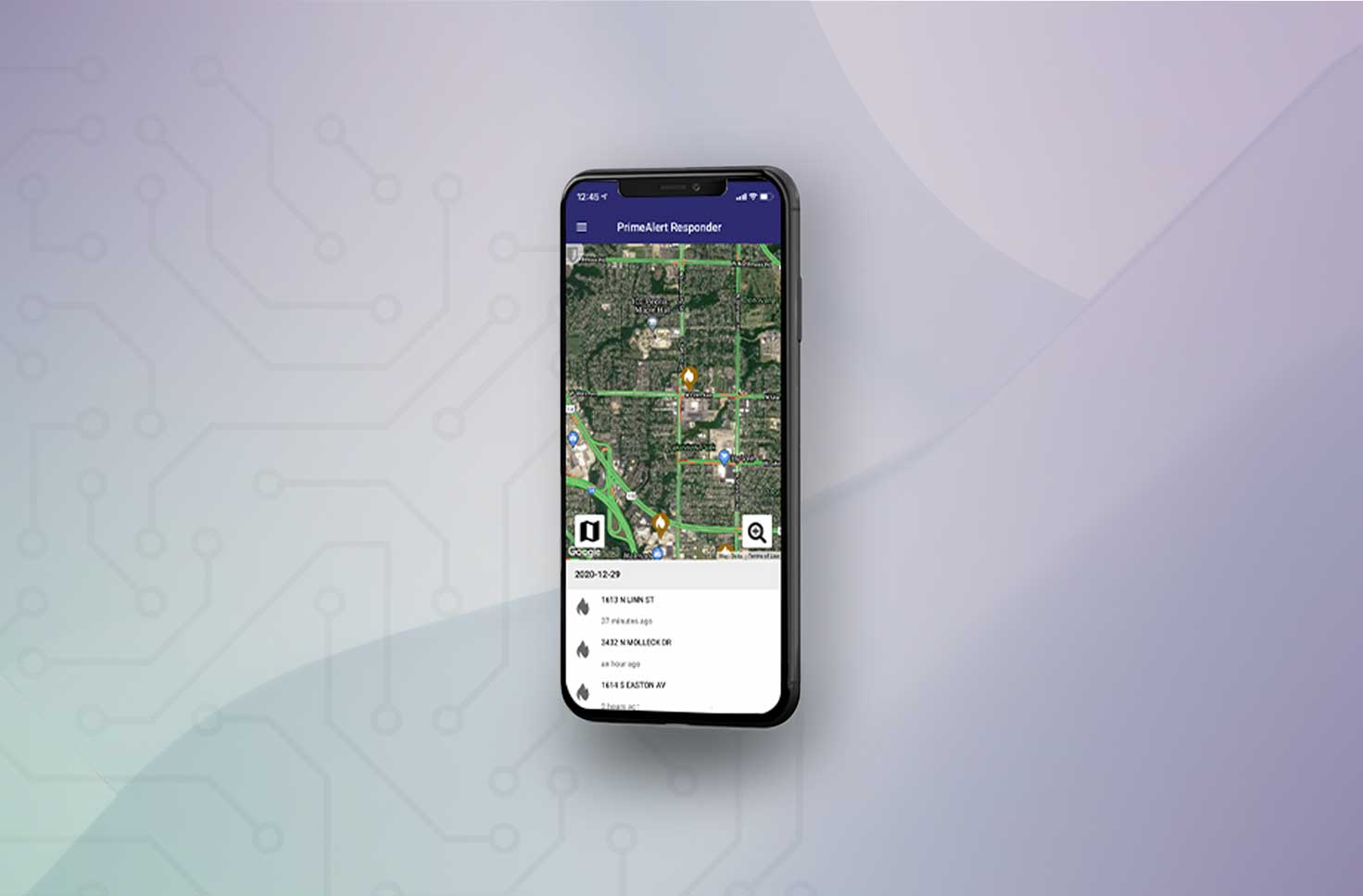
PrimeAlert® Responder displays dispatch information on monitors positioned in central areas of the station. Monitors display a map of the location of the emergency and the street view, giving first responders confidence they can quickly find the incident location, saving valuable time from the apparatus bay to the incident location. Mobile apps for smartphones and tablets display interactive dispatching and mapping information in an intuitive manner with smooth transitions from prior dispatch to new dispatch.
These fire station alerting mapping apps are only available as part of the PrimeAlert® fire station alerting system available for Android and iOS devices.
“Initial fire station alerting technology has primarily been focused on faster response times and better firefighter environments. These new mapping and display applications, both mobile and in-station, help meet the demand we’re seeing for additional data; data that better informs personnel from station to incident.
– Glenn Neal, Locution Systems President and CTO.
PrimeAlert® Responder Highlights
- Runs on industry-standard TV monitors in Fire-EMS stations
- Tied to PrimeAlert® Fire-EMS station alerting system
- Displays dispatch information and location of the emergency via satellite or mapping
- Runs on smartphones and tablets (iOS and Android)
- Highly interactive and intuitive
- Ties into all standard driving direction apps (Google Maps, iOS Maps, others)
- Displays full dispatch information (incident, address, landmark, incident number, and notes typed into the CAD by the dispatcher)
- Provides ability to save specific dispatches (allows for review of dispatches after the emergency)
PrimeAlert® Responder mobile fire station alerting is ideal for paid and Volunteer Fire-EMS Departments. New recruits, or newly transferred responders may not yet know the area or the landmarks. The smartphone app shows where the incident is located, and provides detailed driving directions to the incident.
Learn more about maps and apps.
